
Antique Maps, Prints, & Books of Natural History, Travel, Botanicals, & More
Lot 59650:
Description
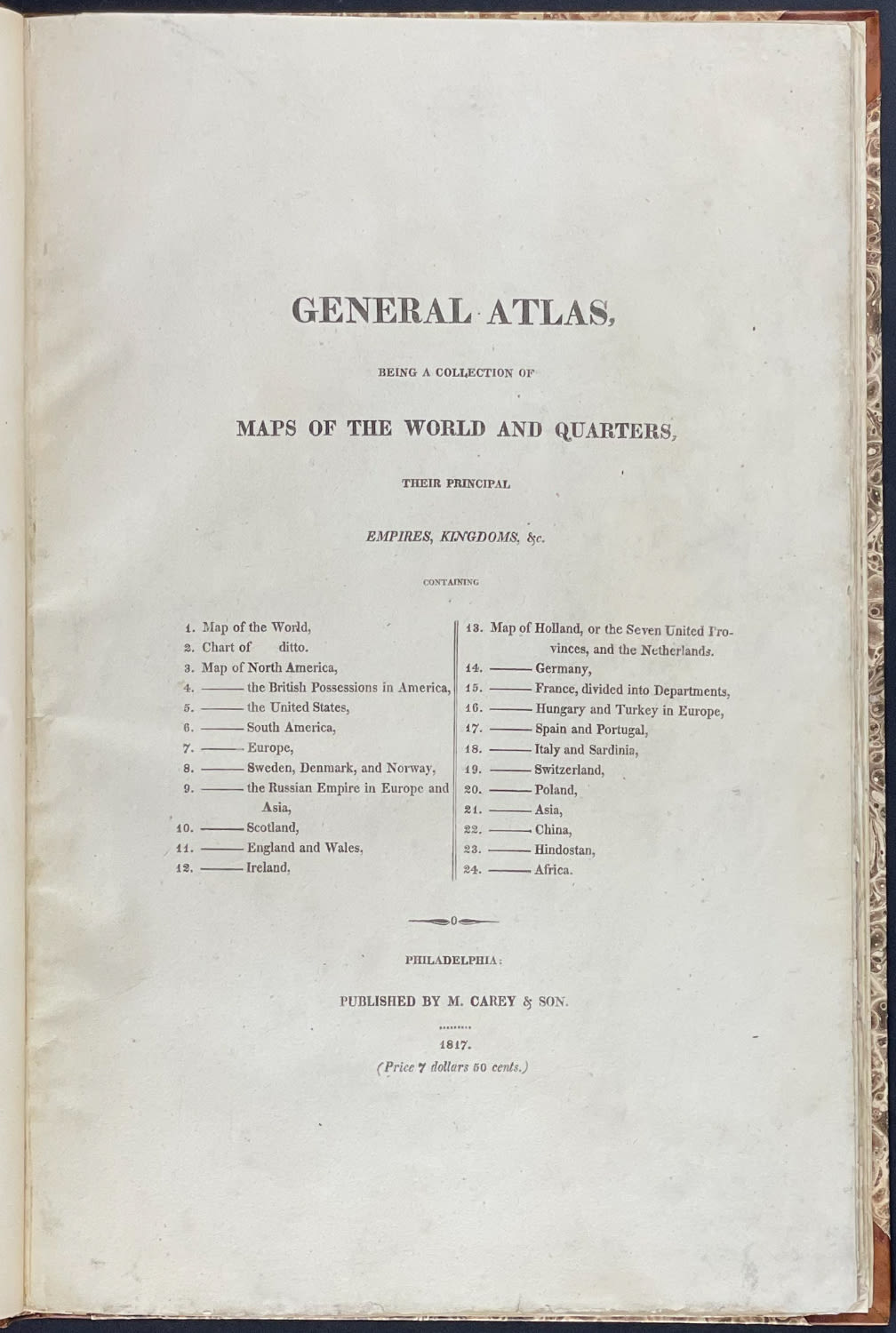
This volume is Mathew Carey’s
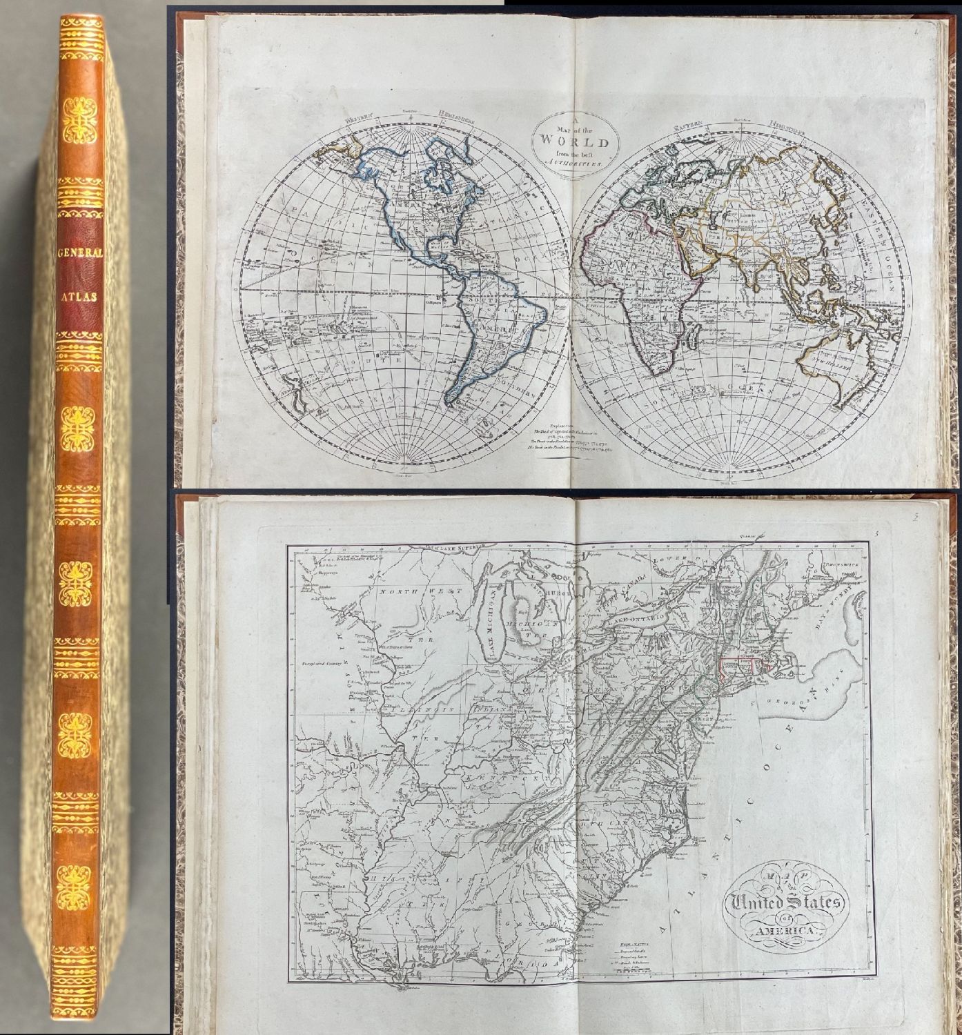
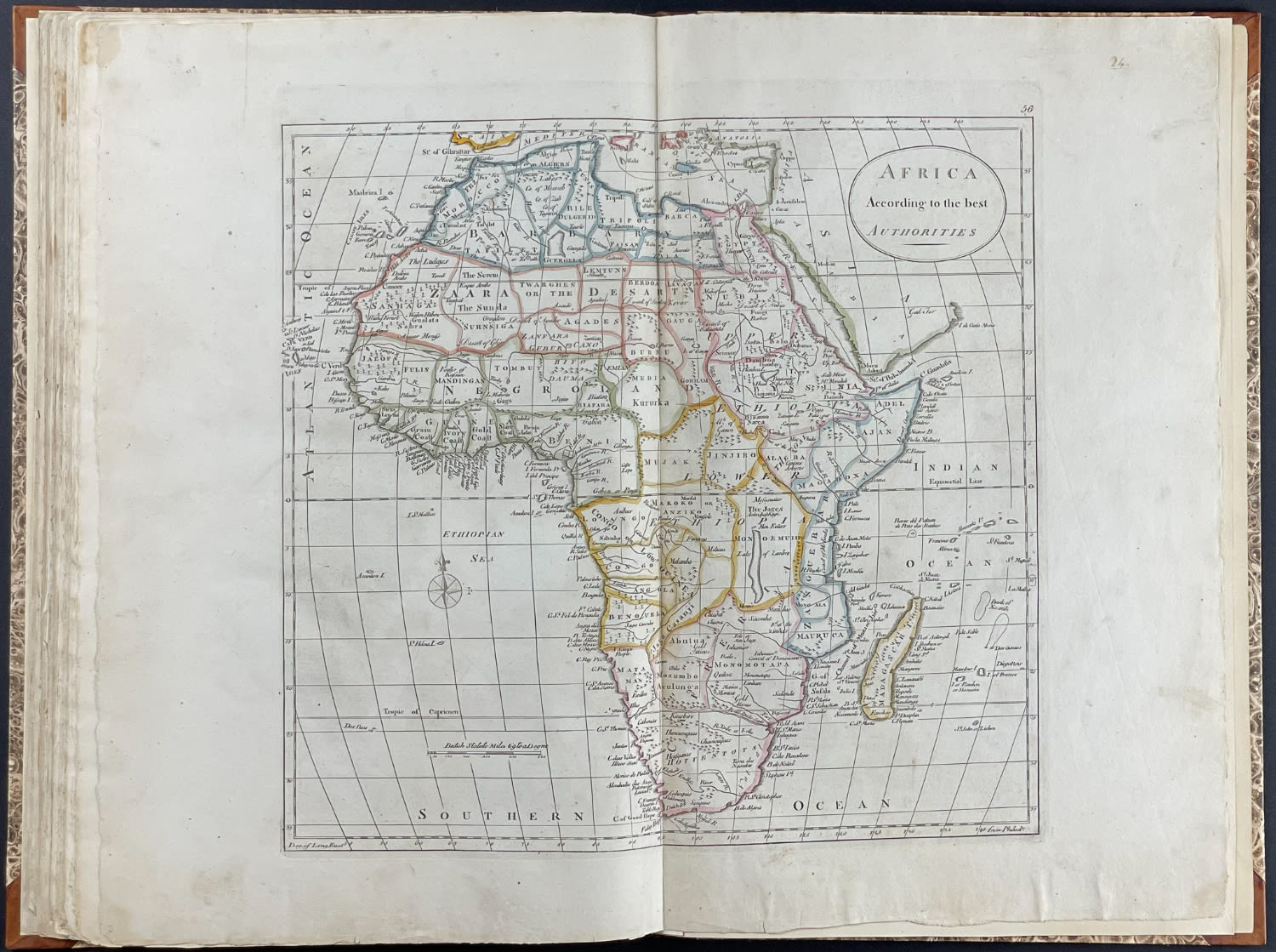
General Atlas, being a collection of Maps of the World and Quarters, their principal empires, kingdoms, &c. … The work was published in Philadelphia 1817 by M. Carey & Son. The atlas features 24 folio engraved maps, all with originally hand-colored outlines.
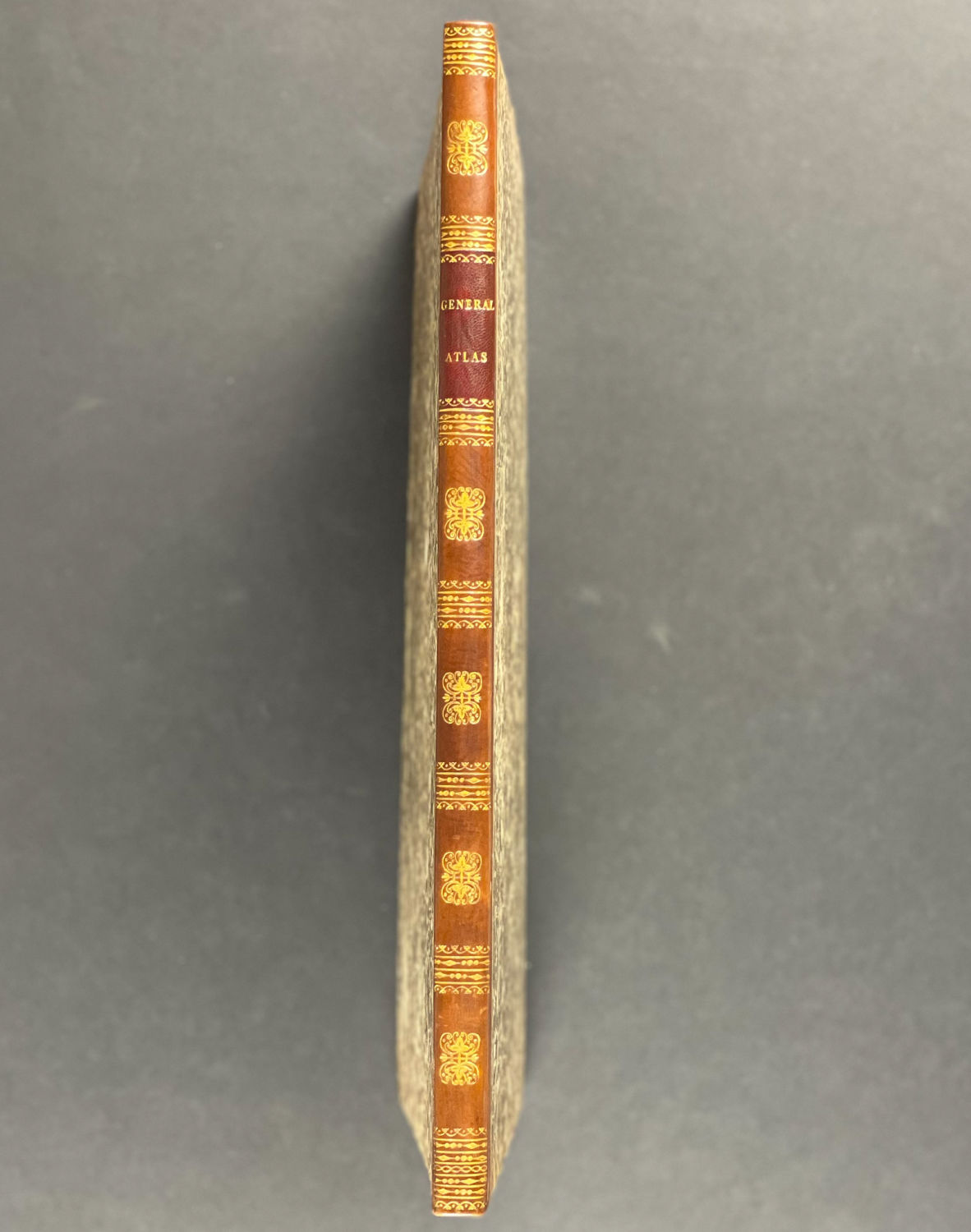
The work is expertly bound to style in half calf over period marbled paper coverd boards. The spine is flat with six compartments divided by gilt roll tools. It is lettered in gilt in the second compartment.
This is an unrecorded variant of the third edition of Carey’s
General Atlas complete with 24 maps. This was dedicated to the world outside of the United States of America.
Mathew Carey (1760-1839) was born in Dublin, Ireland and emigrated to the United States in 1784. He was an American publisher and economist based in Philadelphia, Pennsylvania. He was active in parliamentary reform in Ireland and remained politcal in America. Benjamin Franklin recommended Carey to Gilbert du Motier, Marquis de Lafayette. He gave Carey a check for $400 which he used to establish his publishing business and bookshop.
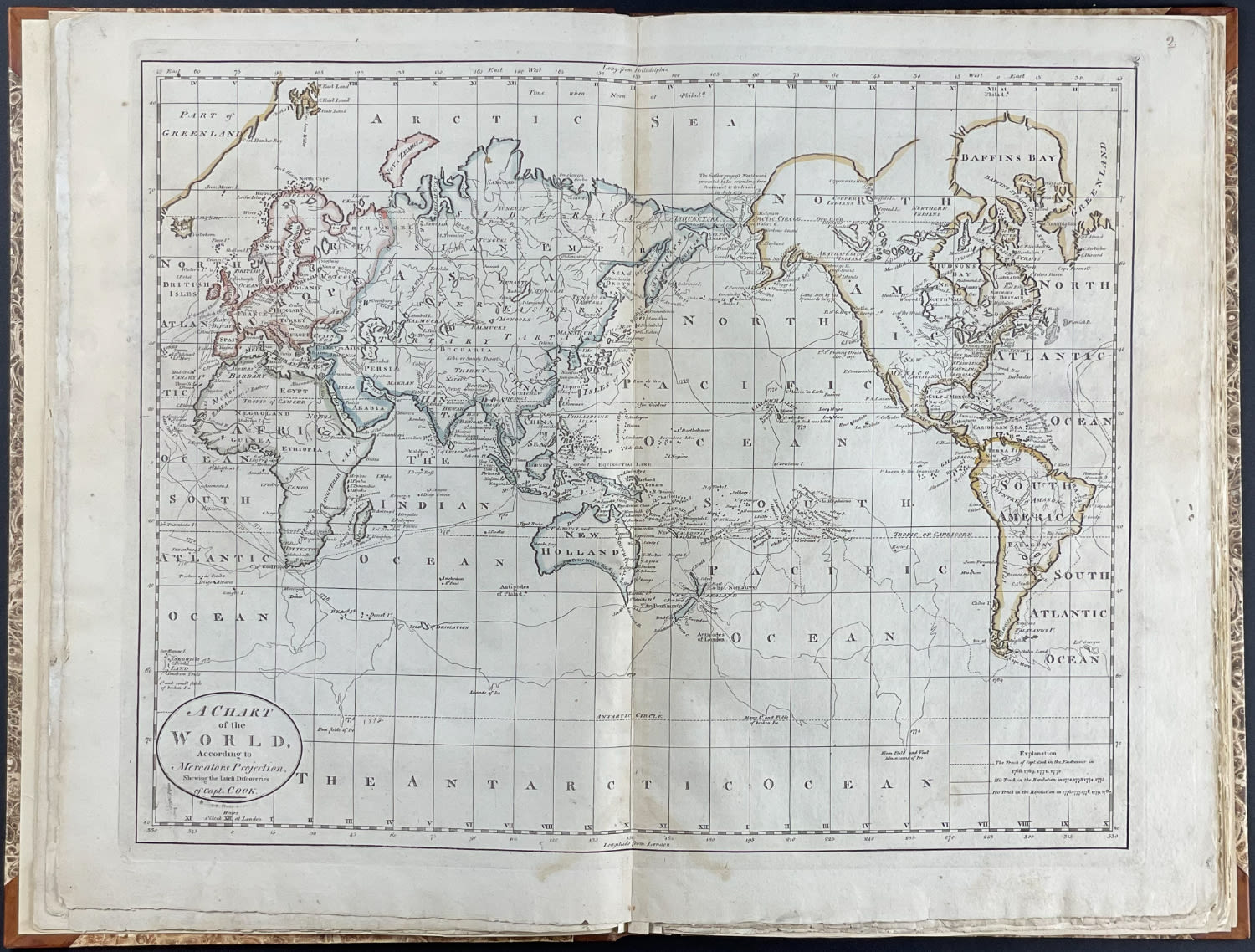
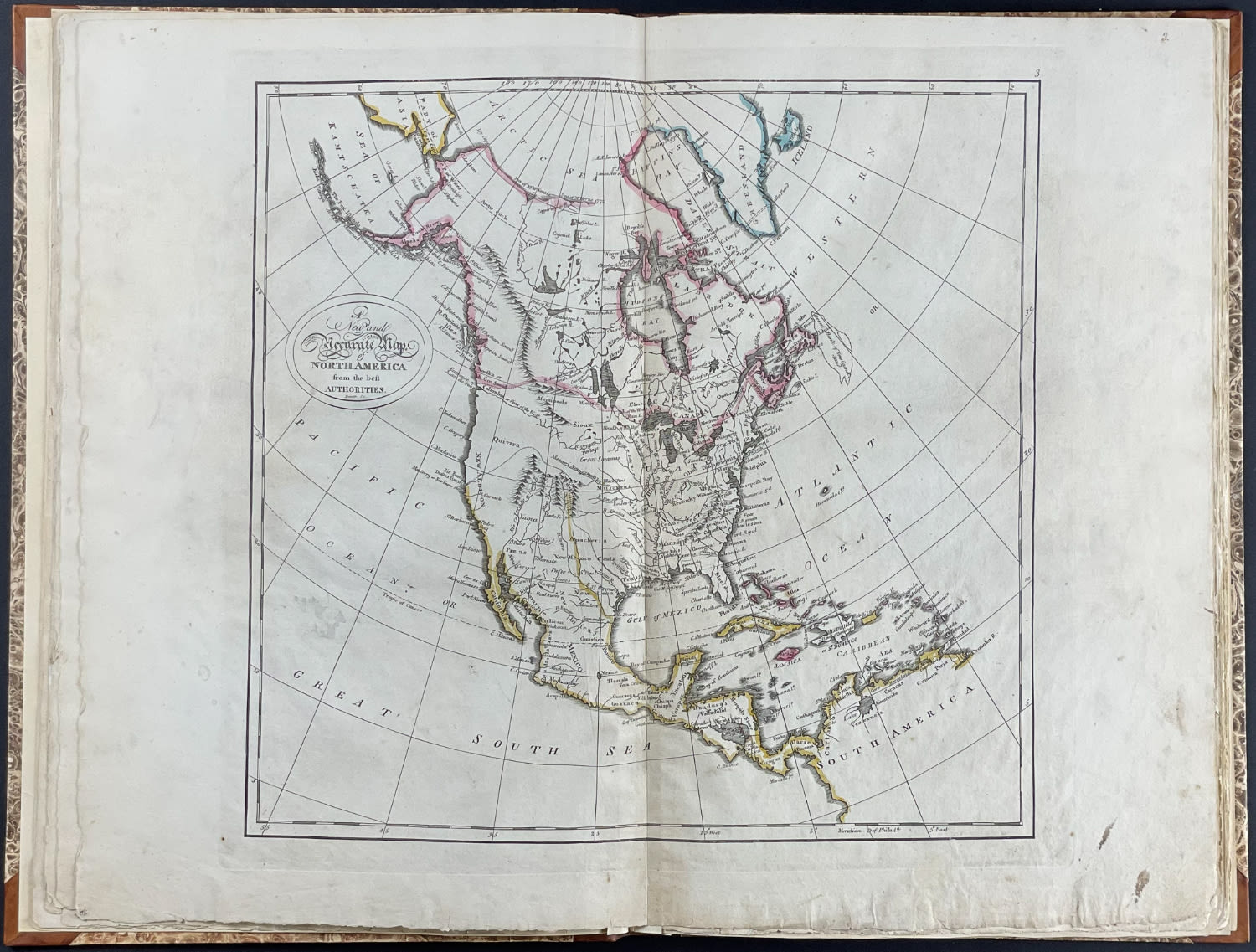
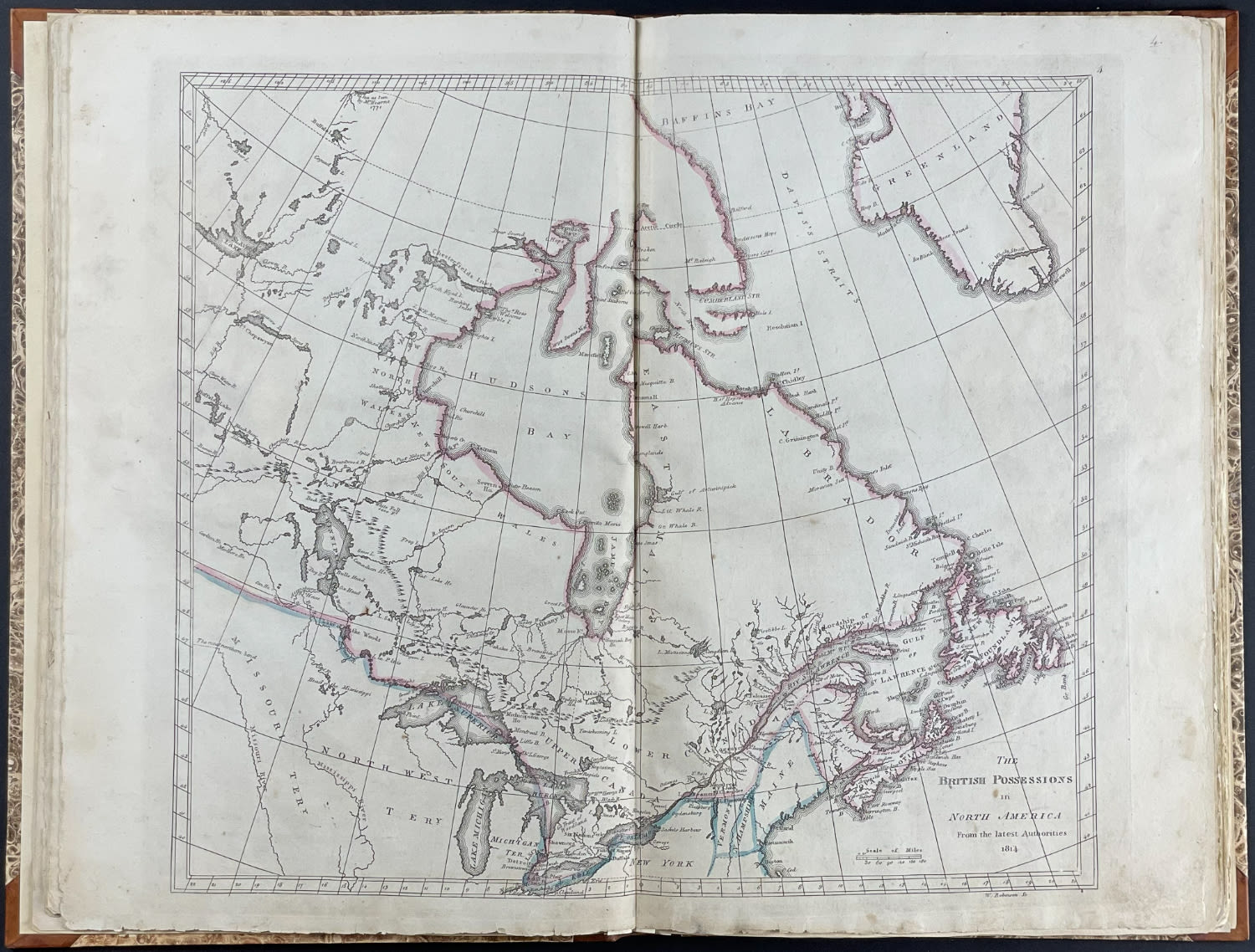
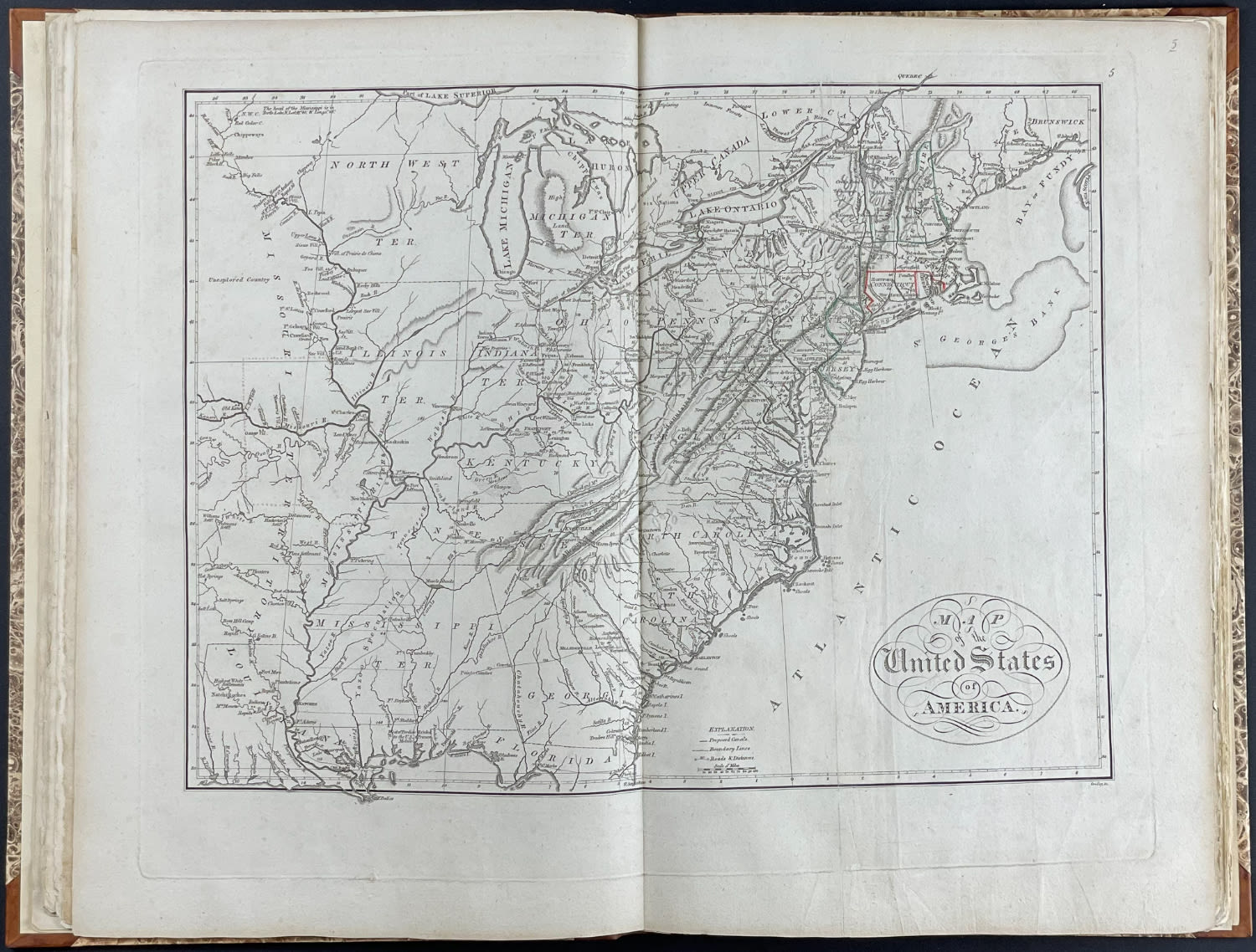
The maps in this rare edition are:
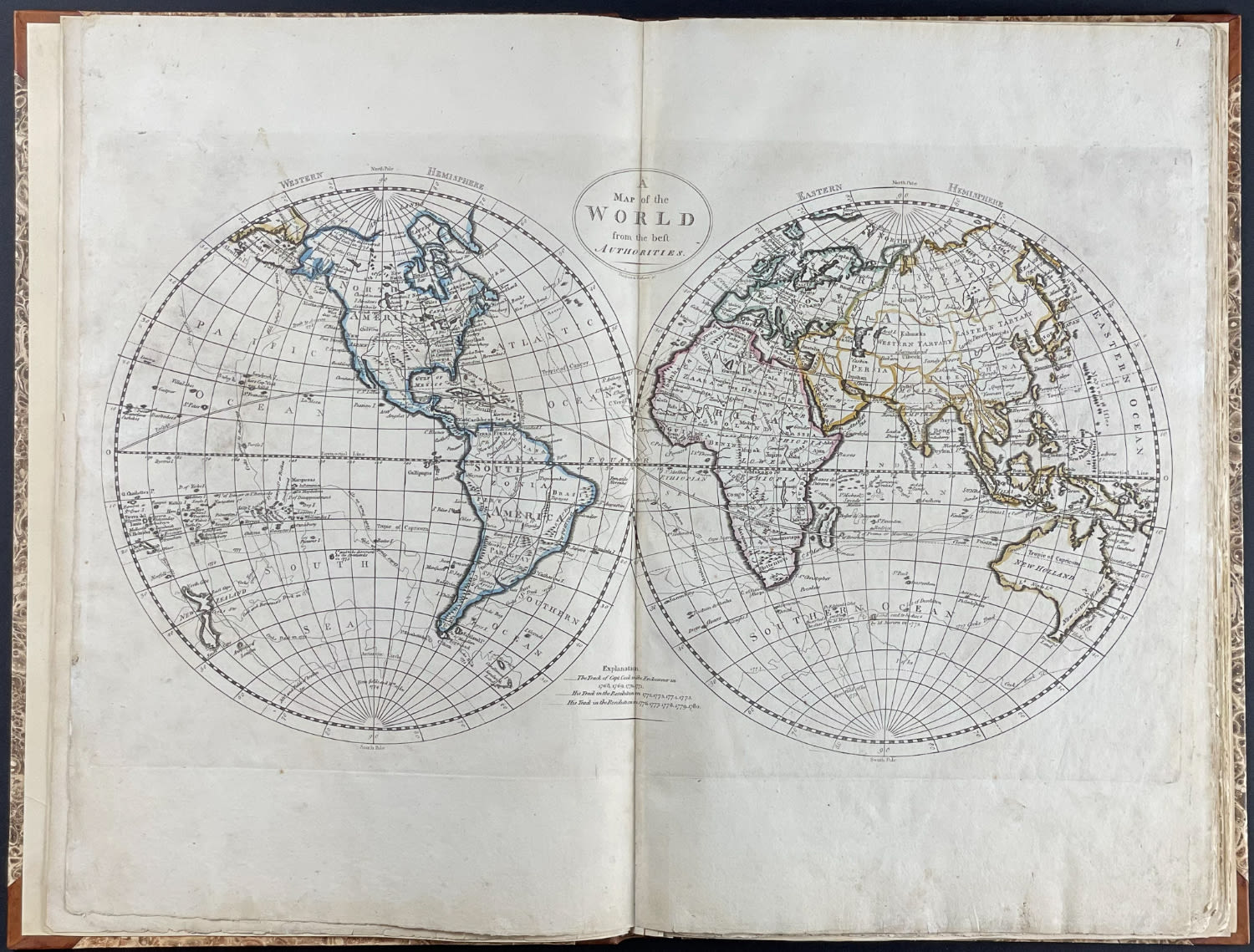
1. A map of the world from the best authorities.
2. A chart of the world, according to Mercators projection, shewing the latest discoveries of Capt. Cook.
3. A New and Accurate Map of North America from the best Authorities.
4. The British Possessions in North America from the latest Authorities
5. A Map of the United States of America
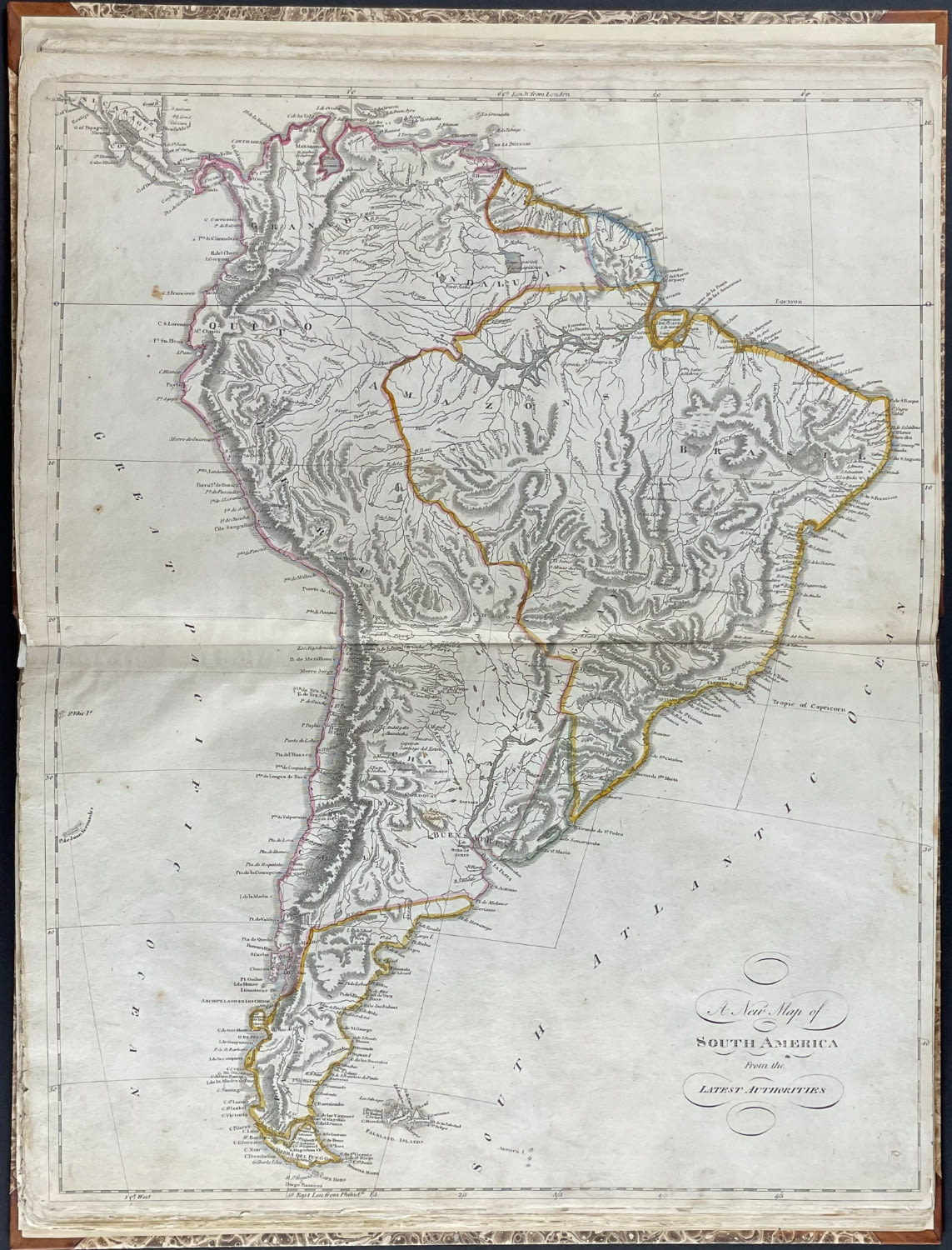
6. A New Map of South America From the Latest Authorities
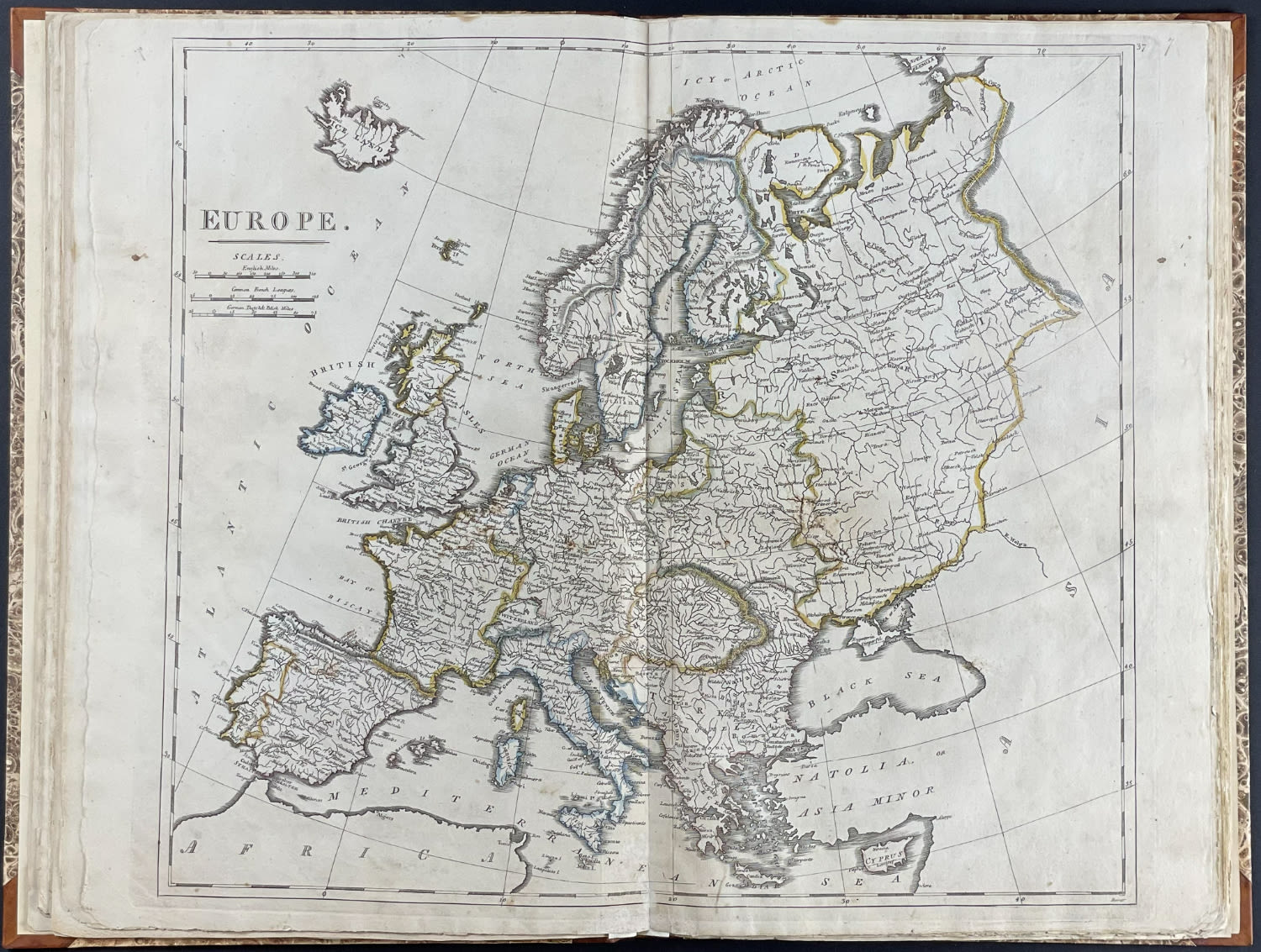
7. Europe
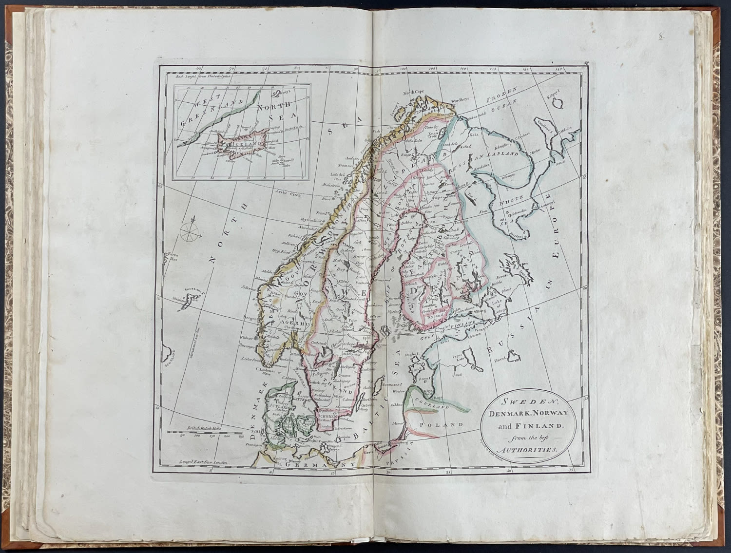
8. Sweden, Denmark, Norway and Finland, from the best authorities
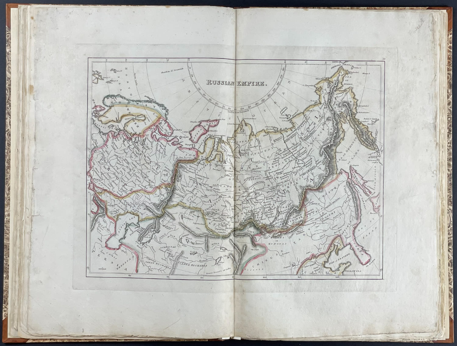
9. Russian Empire.
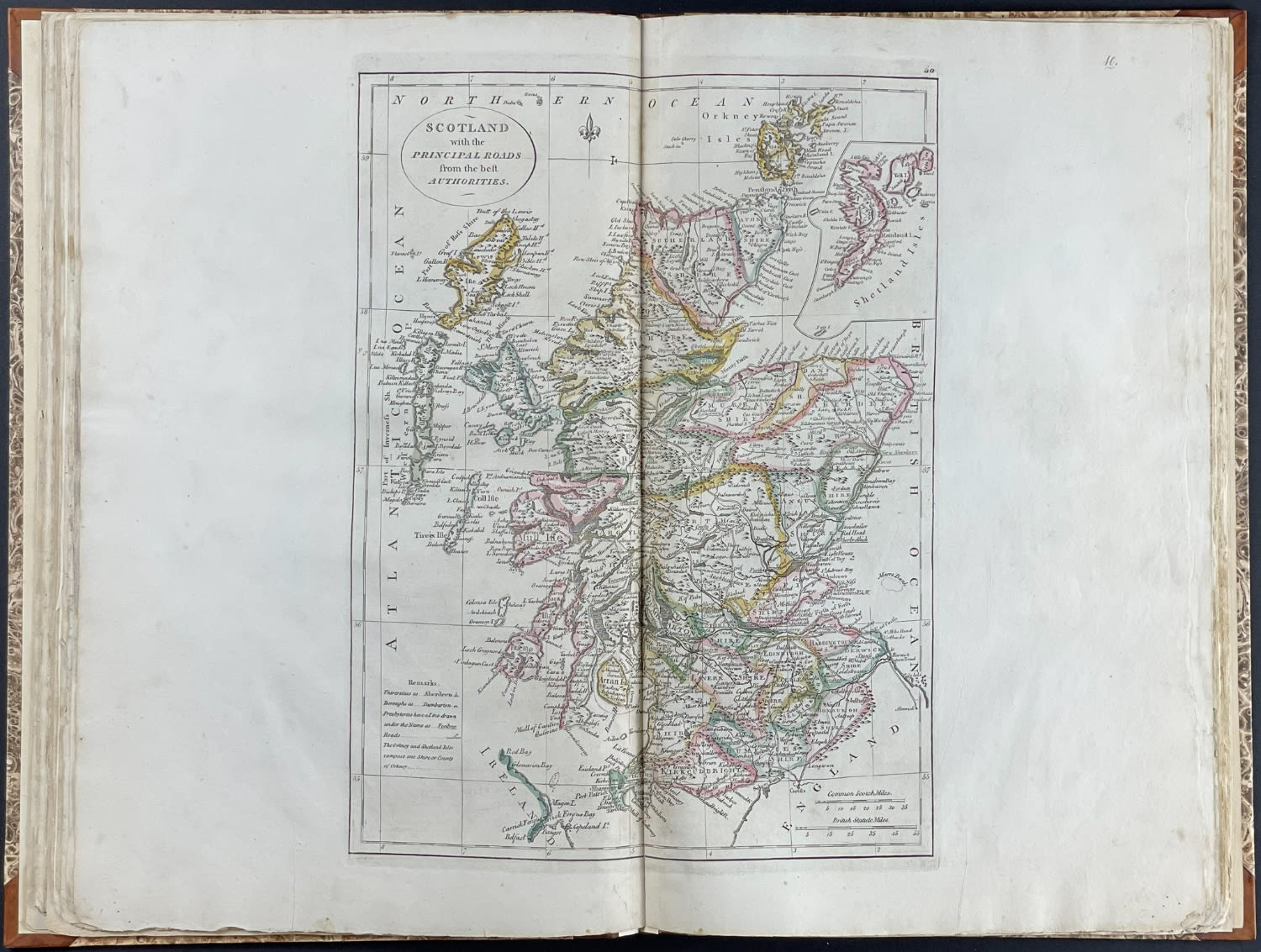
10. Scotland with the principal roads from the best authorities.
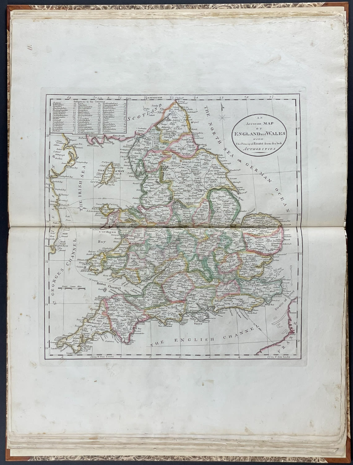
11. An accurate map of England and Wales with the principal roads from the best authorities
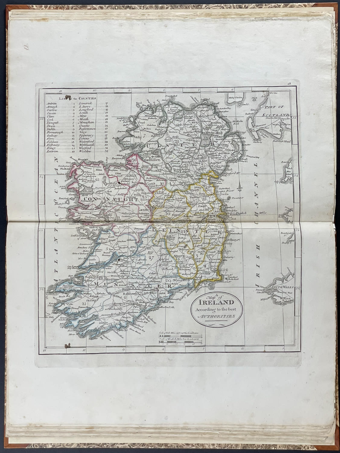
12. A Map of Ireland according to the best authorities
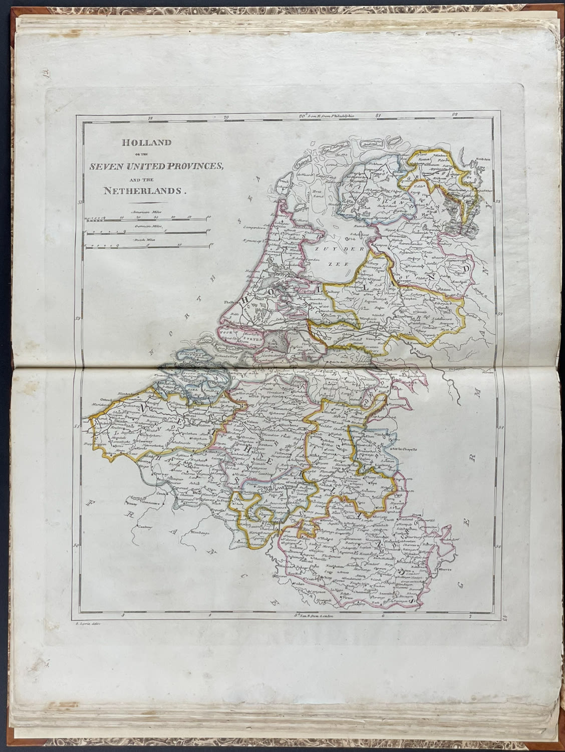
13. Holland or the Seven United Provinces, and the Netherlands
14. Germany
15. France divided into circles and departments
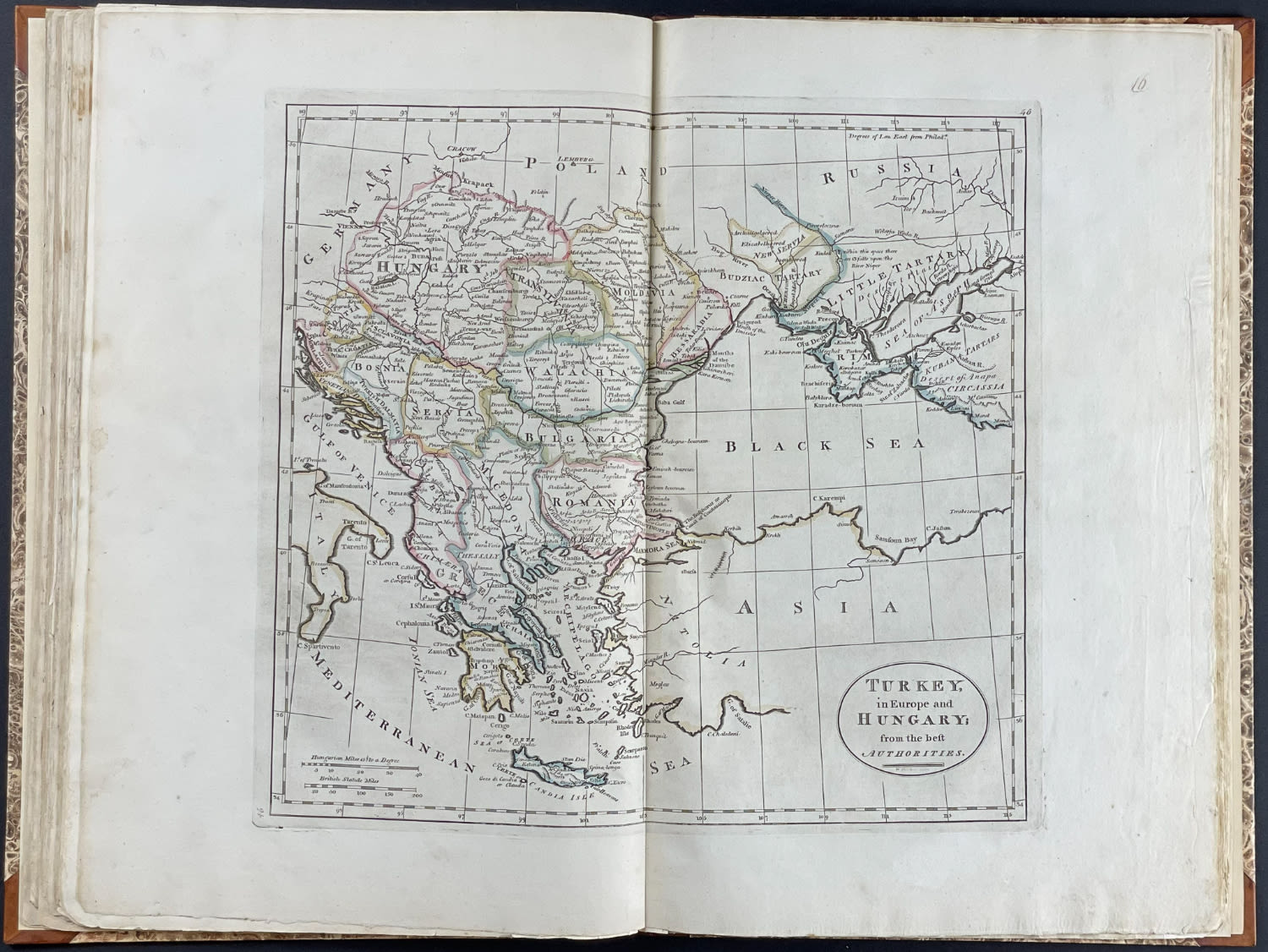
16. Turkey, in Europe and Hungary; from the best authorities.
17. Spain and Portugal.
18. Italy, and Sardinia, from the best authorities.
19. Switzerland According to the best authorities.
20. Poland.
21. Asia According to the best authorities.
22. China, divided into it’s great provinces according the best authorities.
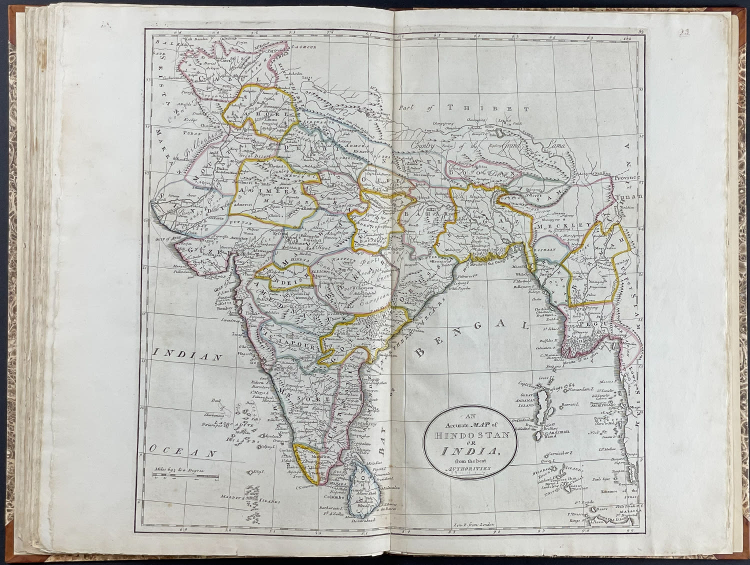
23. An accurate map of Hindostan or India, from the best authorities.
24. Africa According to the best authorities.
Condition report:
The work is in very good to excellent condition overall. There may be a few minor imperfections or faint marks to be expected with age. Please review the image carefully for condition and contact us with any questions.
Share this lot: