
Antique Prints, Maps, & Books of Natural History, Botanicals, & More
Lot 6079:
Description
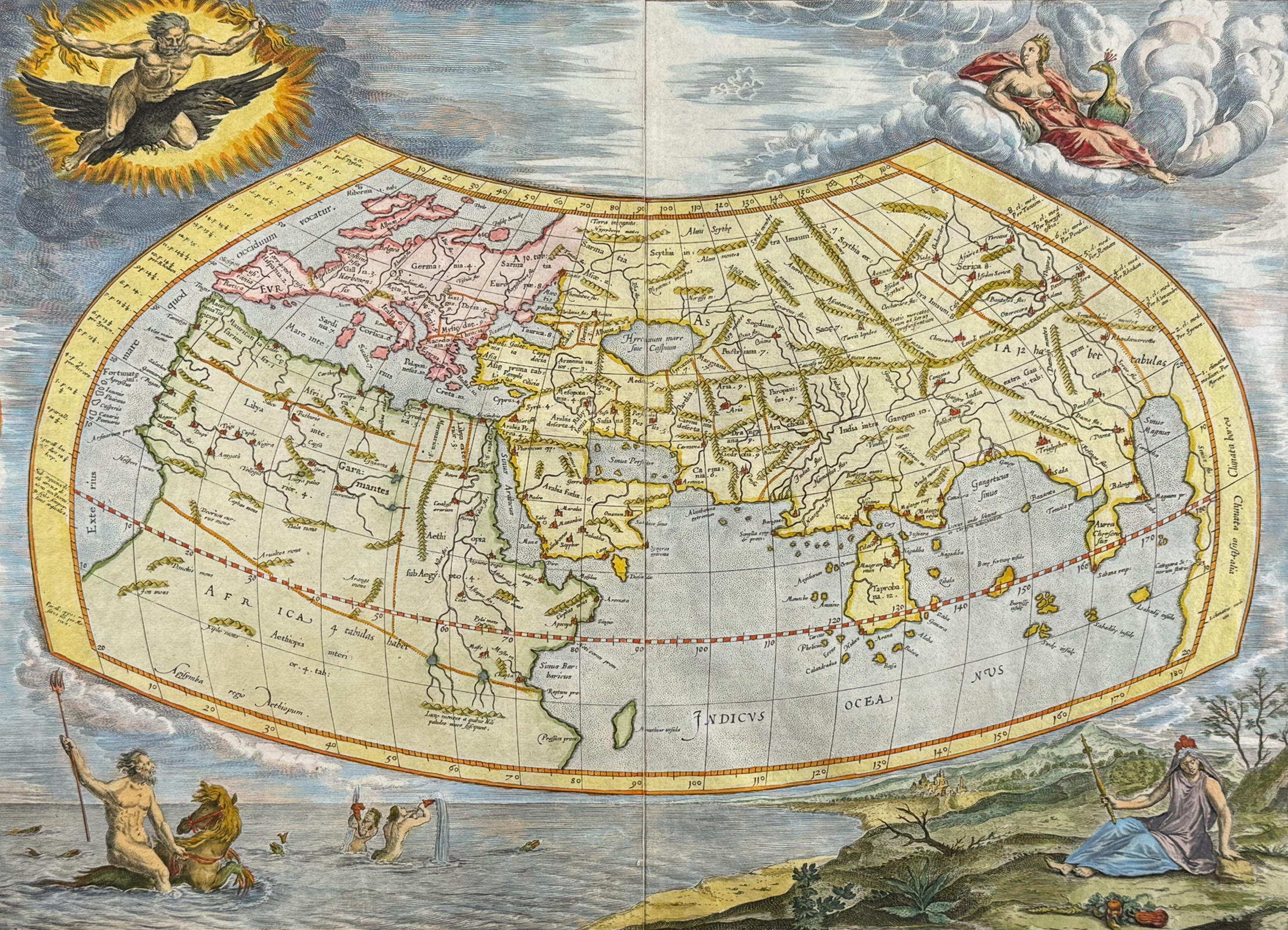
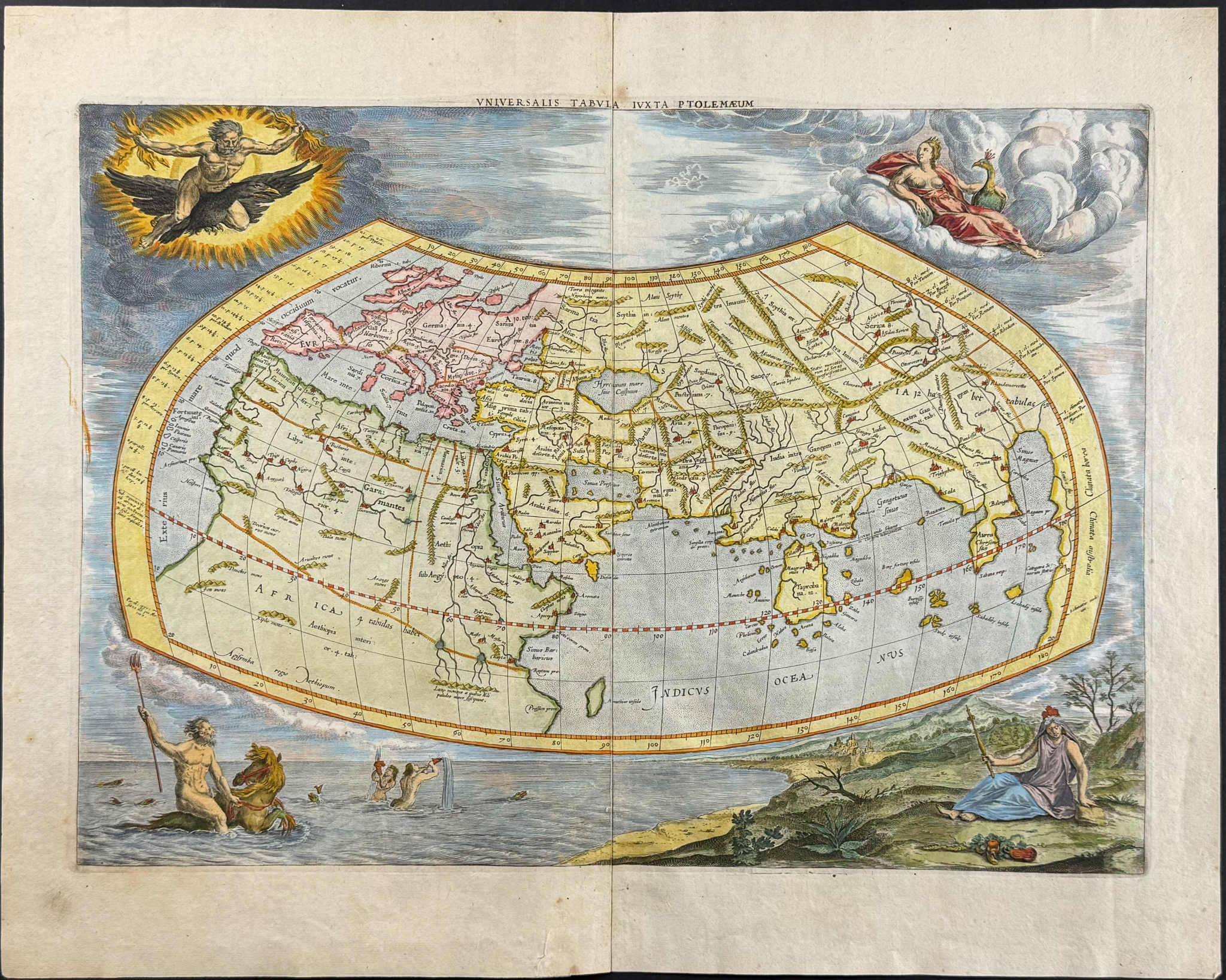
This folio engraved map with older hand-coloring is from Halma’s edition of Claudius Ptolemaeus (Ptolemy)’s
Geographia entitled
Tabulae Geographicae Orbis Terrarum Vertibus Cognita. The work was published in Utrecht in 1698 by Franciscum Halman & Guiljelmum vande Water.
Halma adapted the maps from Mercator’s 1578 edition of Ptolemy’s
Geographia. François Halma (1653-1722) likely acquired Mercator’s copperplates in 1694 from an auction of the Janssonius publishing house. The maps were reworked for Halma’s editions published in 1695, 1698, & 1704.
This work is considered a later published ediiton of Ptolemy (Ptolemaeus)’s Geographia. The work was considered one of the most influential cartographic accounts of the ancient world and served as inspiration for all Renaissance mapmakers. He compiled what was known of the world’s geography in the Roman Empire during his time (circa 90-168 AD). Ptolemy was a mathematician, astronomer, geographer, astrologer, and poet. The earliest known manuscripts of Geographia date to 1300 and was first printed in 1477.
Paper Size: ~ 21" by 17" (Fold Out)
Paper Type or Special Features: Engraving with Older Hand-coloring (likely 19th century)
Condition report:
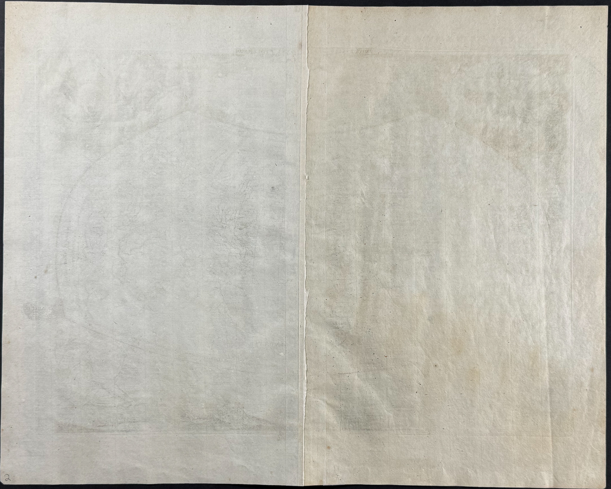
The work is in very good to excellent condition overall. There is some occasional archival restoration to folds or extreme edges. There may be some faint marks or toned spots but generally very nice. There may be some faint offset due to fold out nature of the engraving. There may be a few minor imperfections or faint marks to be expected with age. Please review the image carefully for condition and contact us with any questions.
Share this lot: