
Antique Prints, Maps, & Books of Natural History, Botanicals, & More
Lot 4047:
Description
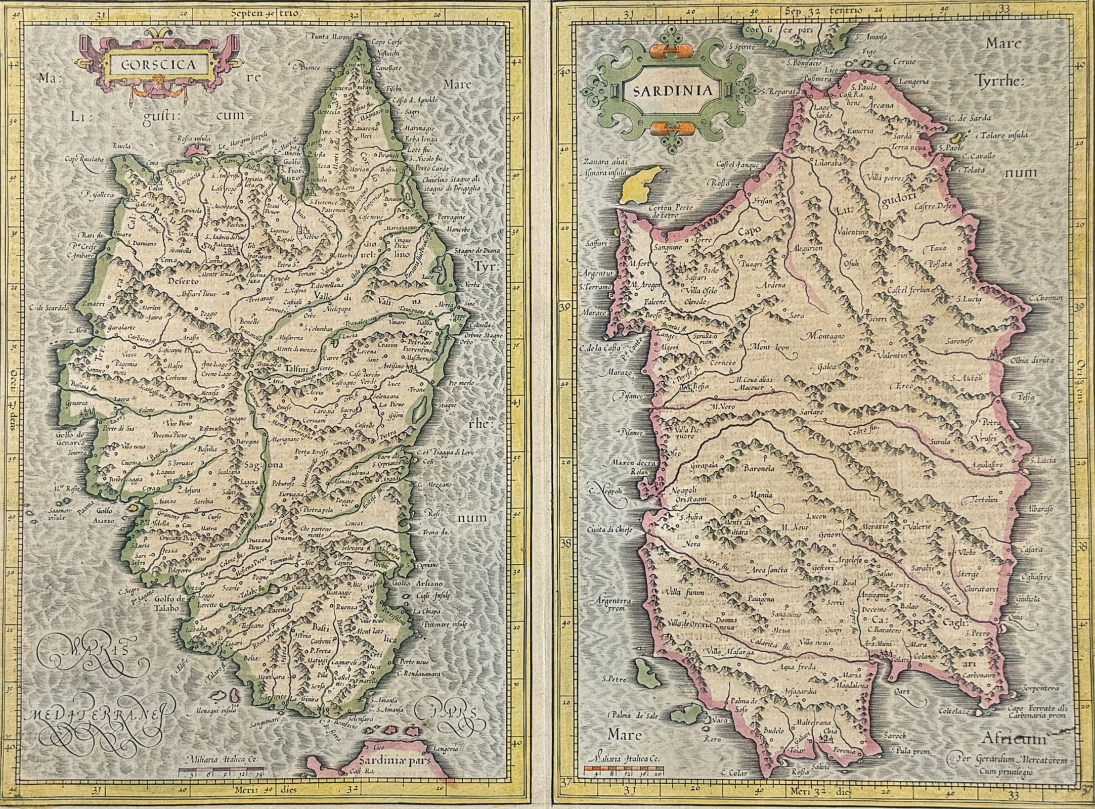
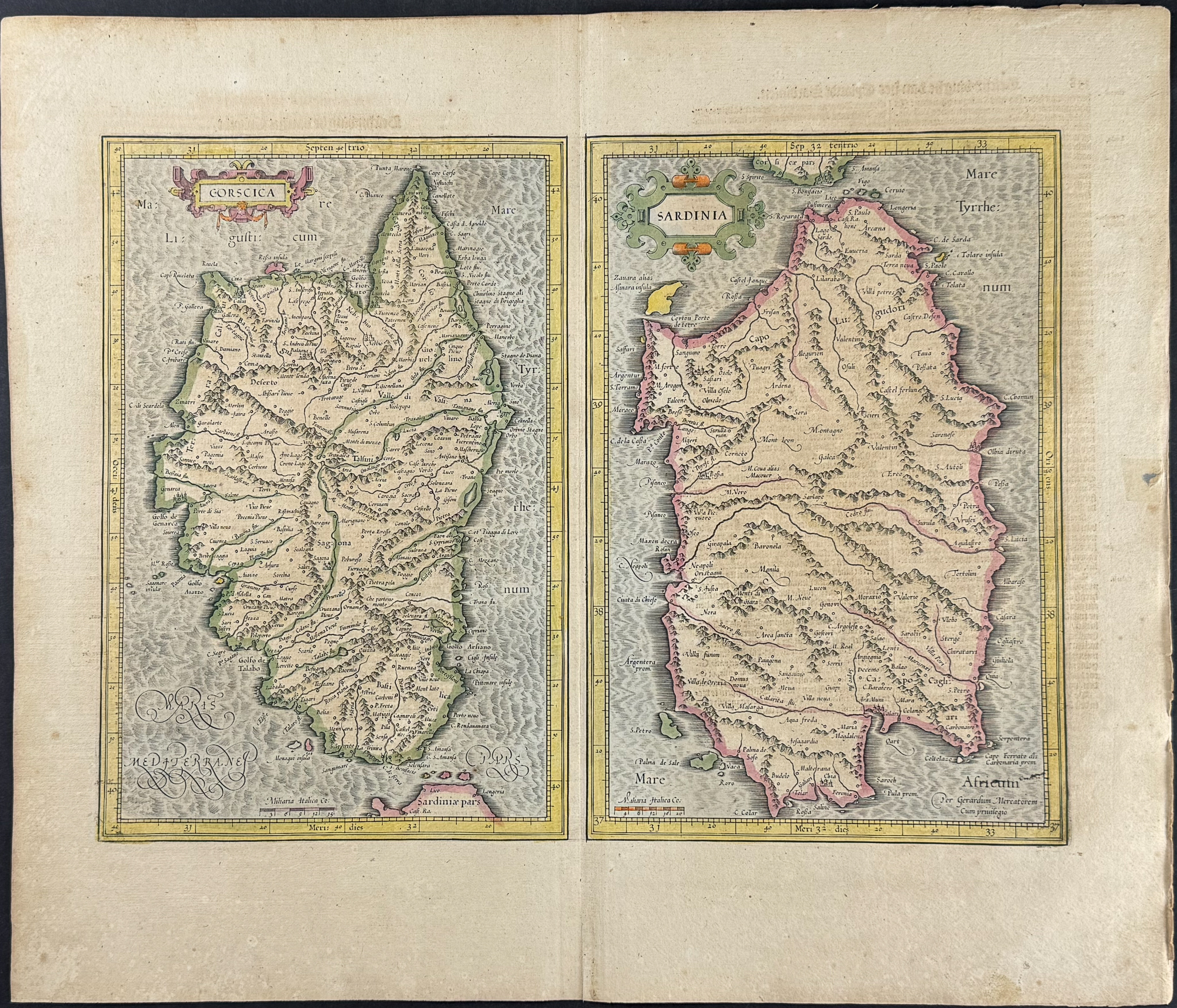
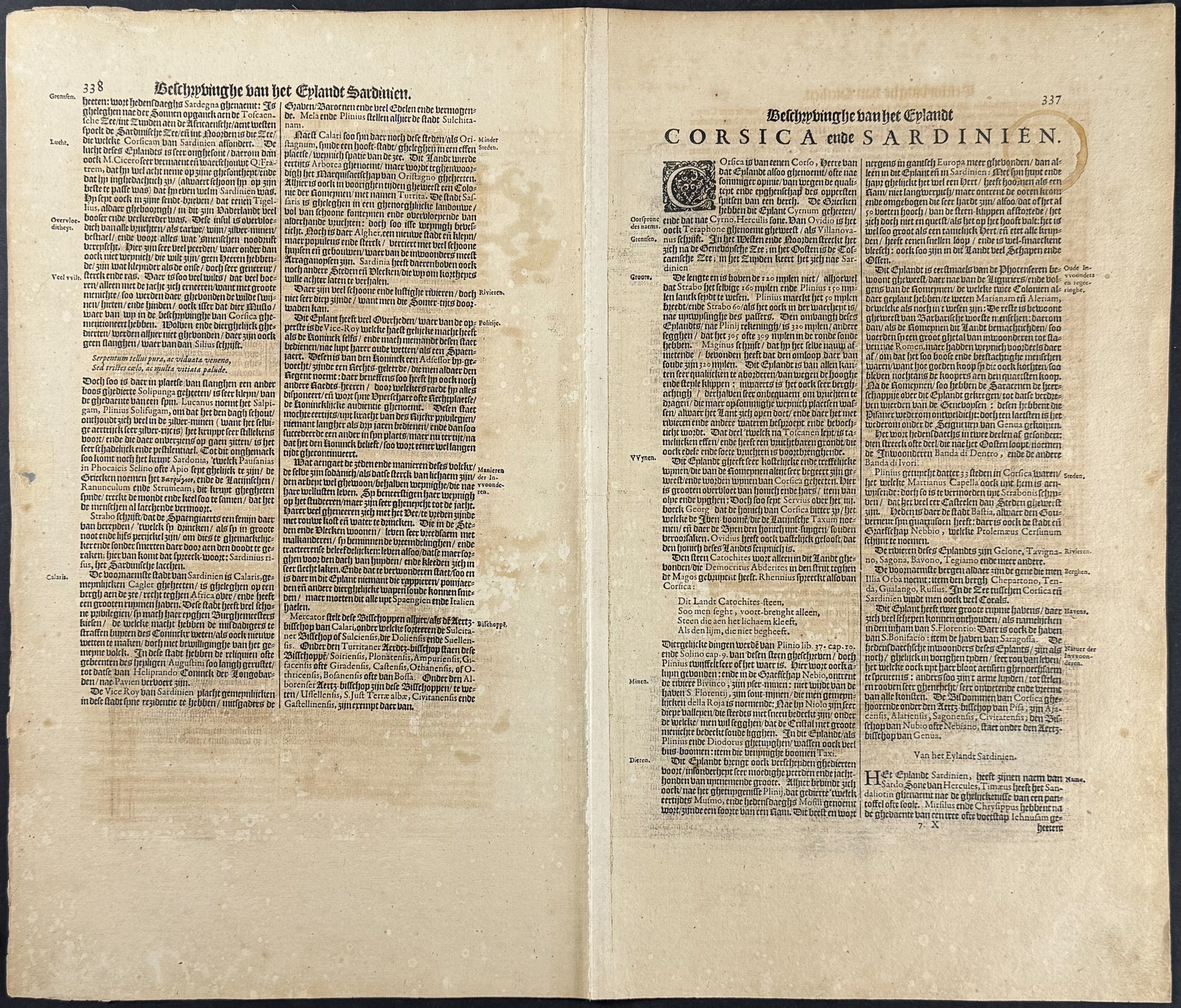
This exceptional folio, hand-colored map is from Gerard Mercator’s
Atlas ofte Afbeeldinghe vande gantsche weerldt: Daer in vertoont worden seer vele caerten van alle de voornaemste coninckrycken, landen en provintien, van Europa, Asia, Africa en America, met de beschryvingen van het ghene daer in ghedenckweerdich… This was the first Dutch edition of the work published in 1634 by Henricus Hondius. Mercator’s
Atlas was the first true “atlas”, a word chosen by Mercator himself to refer to a collection of maps which would be adopted by all later geographers.
Gerard Mercator (1512-1594) is one of the most famous cartographers. He created the Mercator projection for maps which had all parallels and meridians drawn at right angles to each other. This proved exceptionally useful to sailors allowing them to much more easily navigate. Mercator also introduced the term of "atlas", first used to describe his collection of maps gathered into one volume. Mercator is certainly best known for his maps and projections. Mercator was one the greatest names in early cartography, with his friend, Abraham Ortelius, describing Mercator as being the “contemporary Ptolemy”.
“Contrary to the maps in Abraham Ortelius’s
Theatrum orbis terrarium, Antwerp 1570, Mercator’s maps are original. Abraham Ortelius did what most of the atlas-makers of our time are engaged in: the reduction and generalisation of already existing maps. Gerard Mercator, with his sense of scientific word (which should be original and new) checked the current knowledge of the configuration of the earth’s topography against its fundamental sources and drew new maps in his original conception. This method of map-making took more time than it would have by mere copying. But he had not the intention to compete with Ortelius’s best-selling atlas.” (Koeman)
Henricus Hondius (1597-1651) was a Dutch engraver and mapmaker. He learned his trade from his father, Jodocus Hondius, an engraver and geographer. He was involved with the republishing of Mercator’s atlas as well. Henricus worked closed with his brother, Jodocus the younger, and took over their father’s engraving business. He would later start his own shop in 1621 where he would eventually partner with Jan Janssonius and continued publishing Mercator’s work where it would eventually be referred to as the Mercator-Hondius-Janssonius atlas.
Provenance: Philipp Wilhelm of Neuburg (1615-1690), Elector Palatine to the Jesuit college in Düsseldorf on March 1, 1636. Philipp Wilhelm received a Jesuit-influenced education and spent considerable time in Düsseldorf as a child (ex dono on title).
Paper Size: ~ 18 1/2" by 21" (Fold Out)
Paper Type or Special Features: Hand-colored Engraving
Condition report:
The work is in fair to good condition overall. Some of the maps may have had margins or fold reinforced or restored. Paper may be lightly toned or foxed from age. There might be some faint offset due to the fold out nature. There may be a few minor imperfections or fox marks to be expected with age. Please review the image carefully for condition and contact us with any questions.
Share this lot: