
Antique Maps & Prints of Natural History, Botanicals, & More
Lot 757:
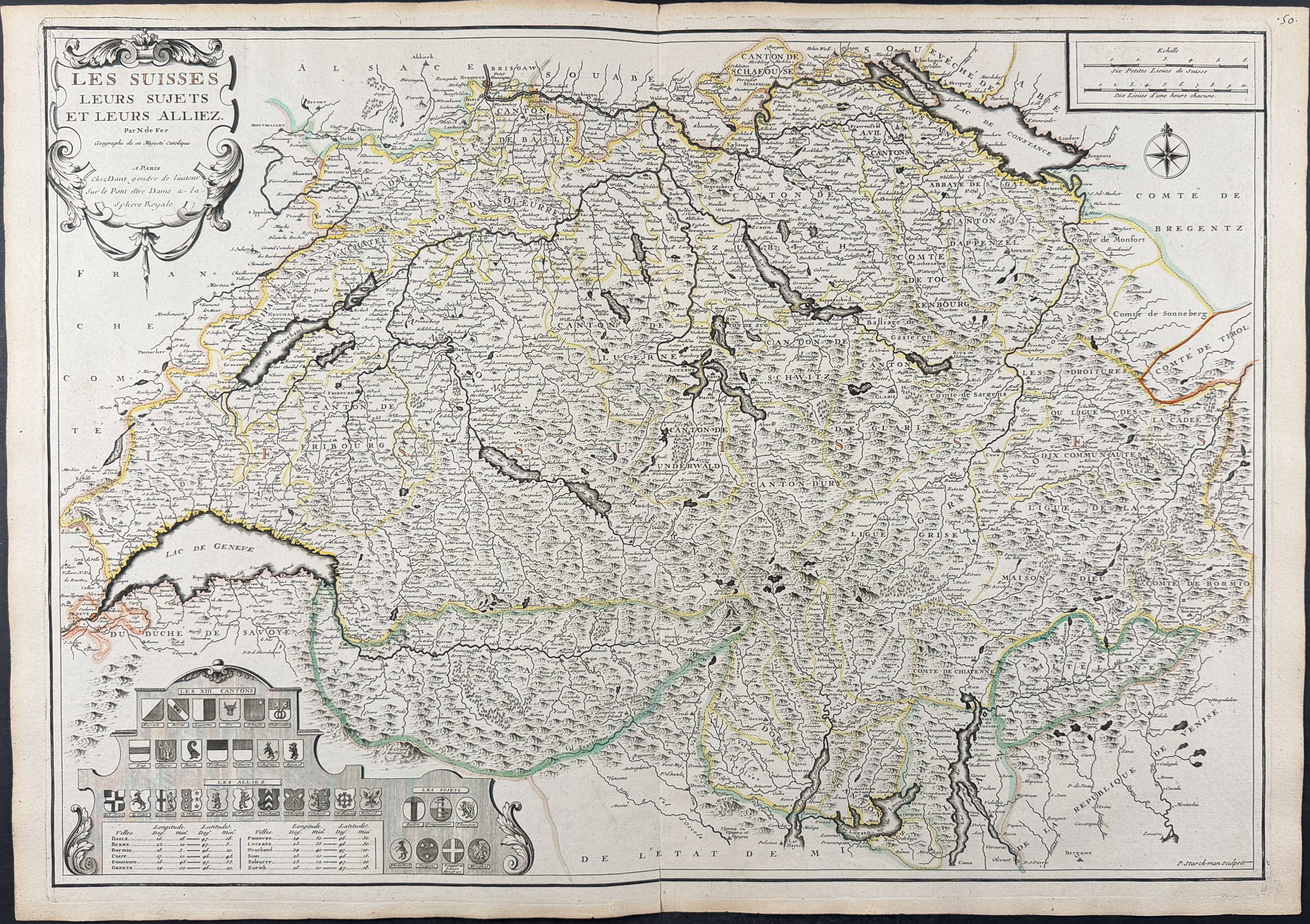
Description
This historic map is from Nicolas de Fer’s "Atlas or collection of geographical maps, drawn up on the new observations of Mrs. of the Royal Academy of Sciences." The atlas was published in Paris in 1709 [but 1728] at Danet’s on the Pont Notre-Dame at the Sphere Royal with the Privilege of the King.
Nicolas de Fer (1646-1720) was one of the most famous French cartographers. He was apprentice to Louis Spirinx, an engraver, from the age of 12. His father was a print and map seller, and Nicholas eventually inherited his business after his passing. He was appointed as geographer of the Grand Dauphin and eventually the Geographer of the Kings of France and Spain. De Fer produced over 600 maps or plans including border maps, conquests of Louis XIV, fortifications of Vauban, and voyages or discoveries in new territories. His maps in particular were done with strong collaboration of many renowned engravers including N. Guerard, C. Gournay, C. Inselin, P. Starckmann, H. Van Loon, F. de la Pointe, and A. Coquart.
Paper Size: ~ 28 1/8" by 20" (Fold Out)
Paper Type or Special Features: Engraving (Some Maps will have Original Outline Color)
Condition report:
The work is in good to very good condition overall. The maps are generally very clean, occasional spots or signs of age. There may be a few minor imperfections or faint marks to be expected with age. Please review the image carefully for condition and contact us with any questions.
Share this lot: