
Antique Prints, Maps, & Books of Natural History, Botanicals, & More
Lot 90009:
Description
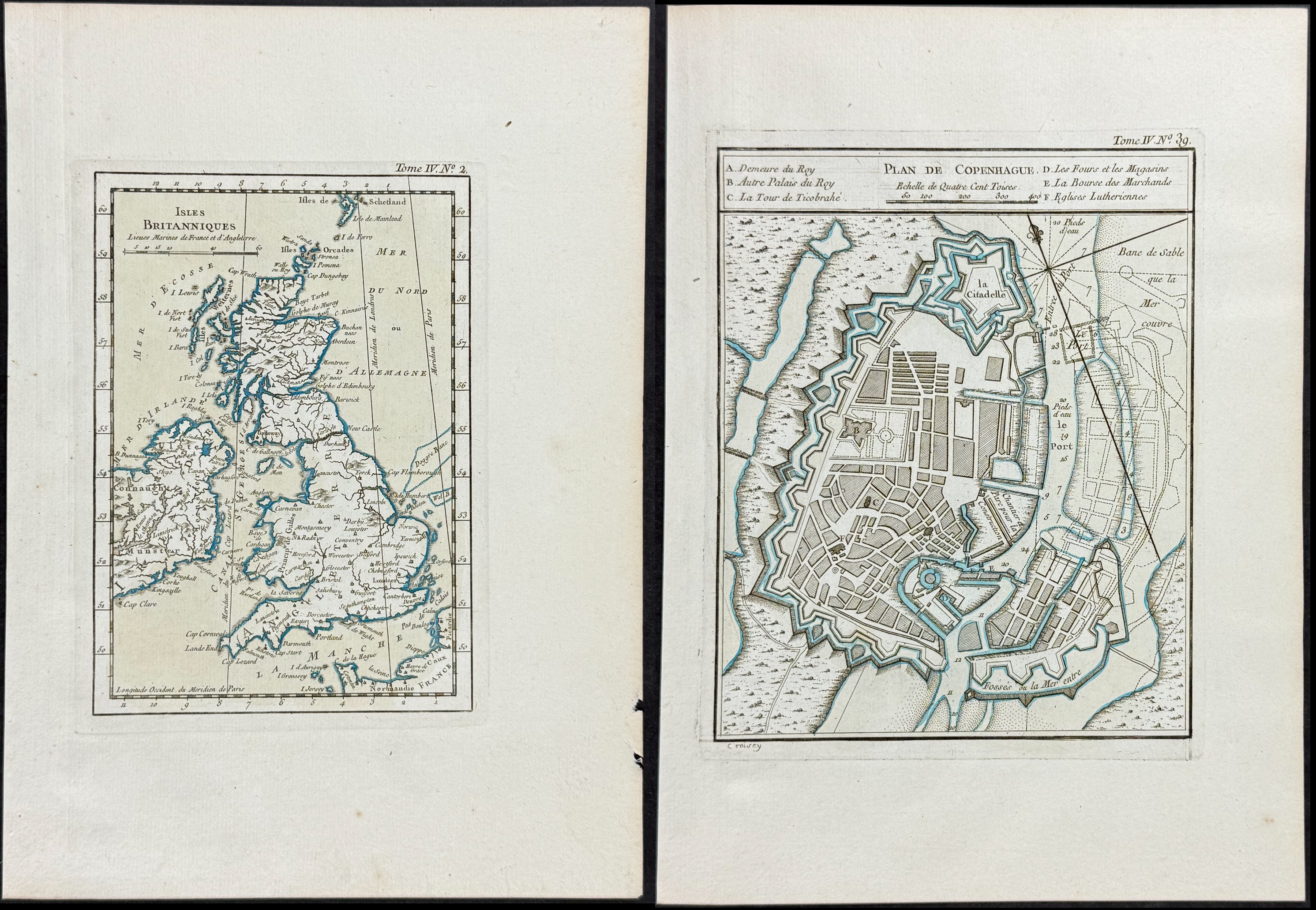
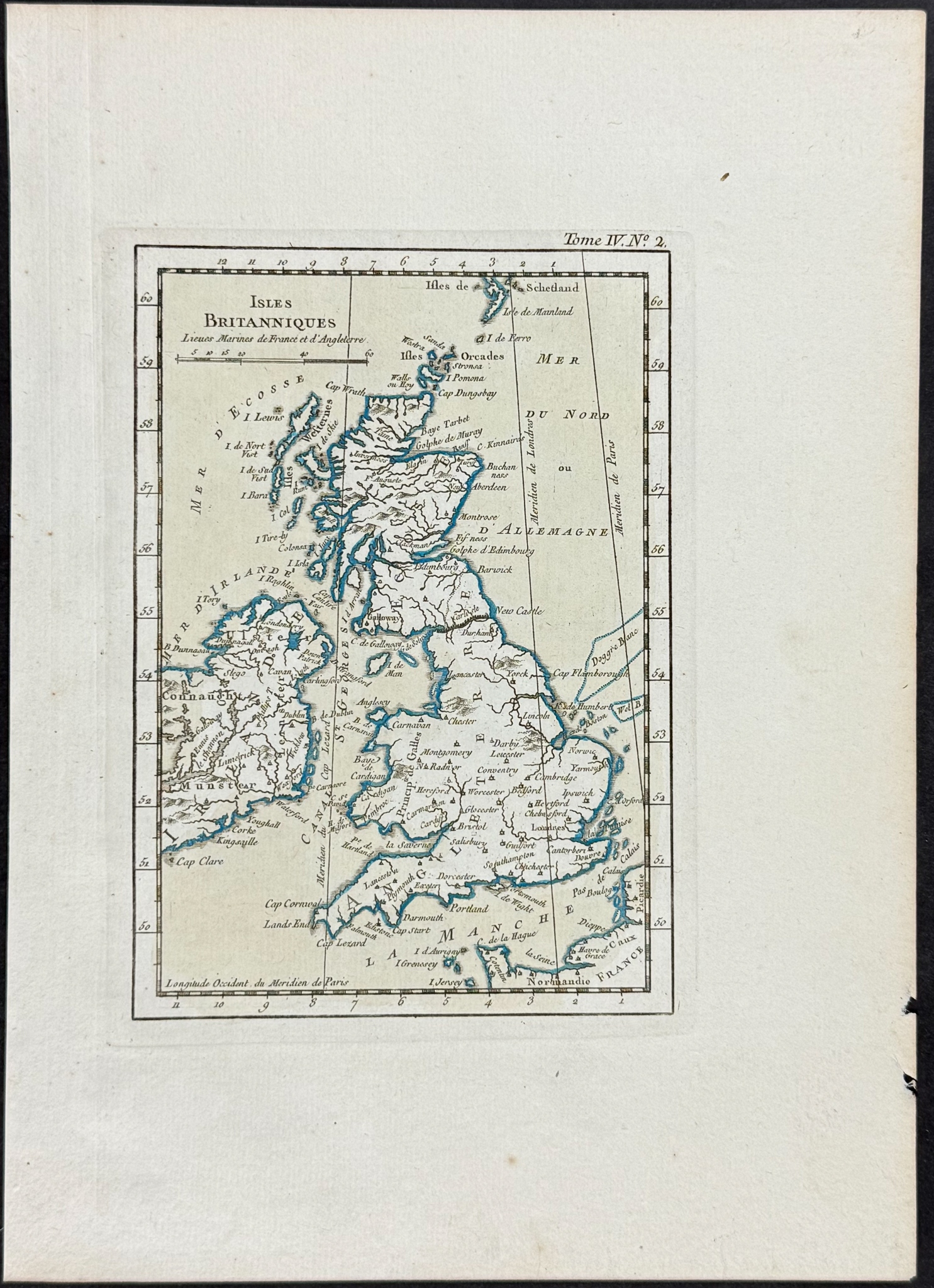
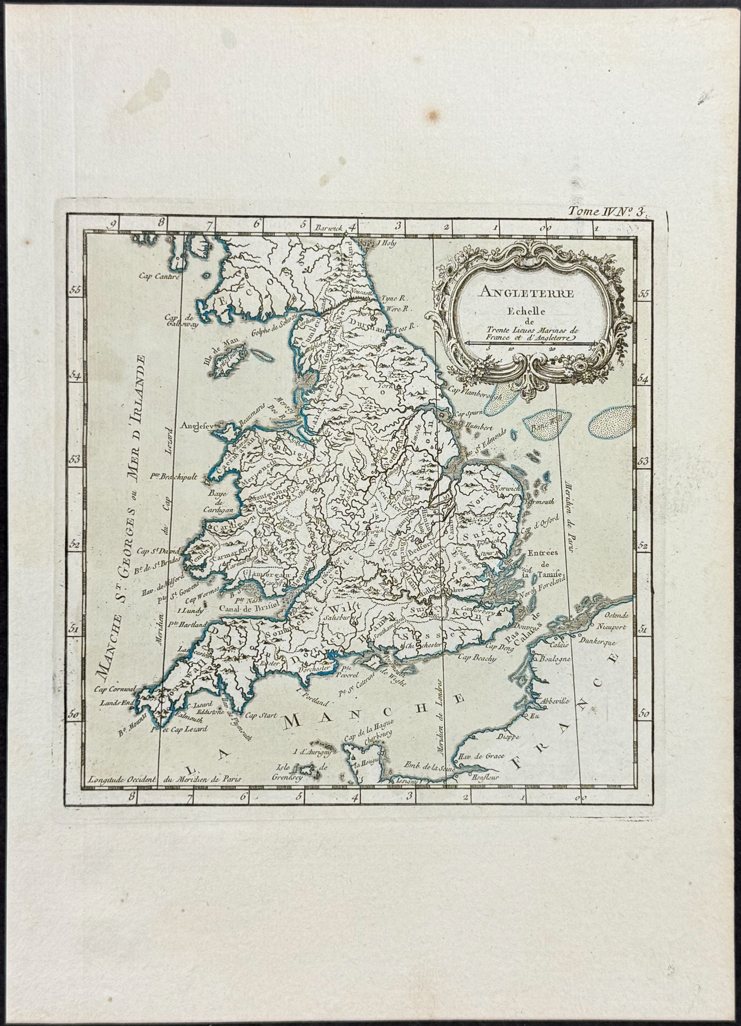
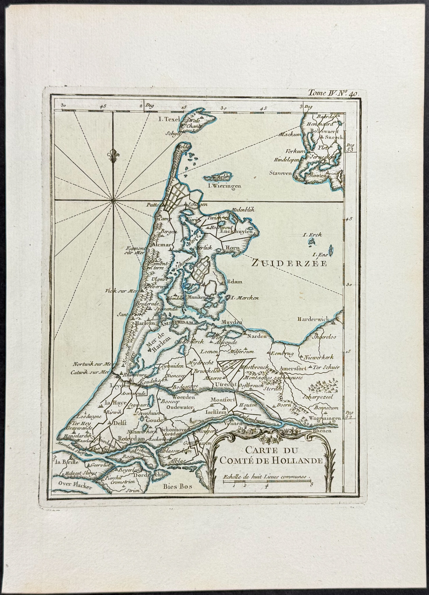
Included in this lot:
Isles Britanniques
Angleterre
Carte du Comte de Hollande
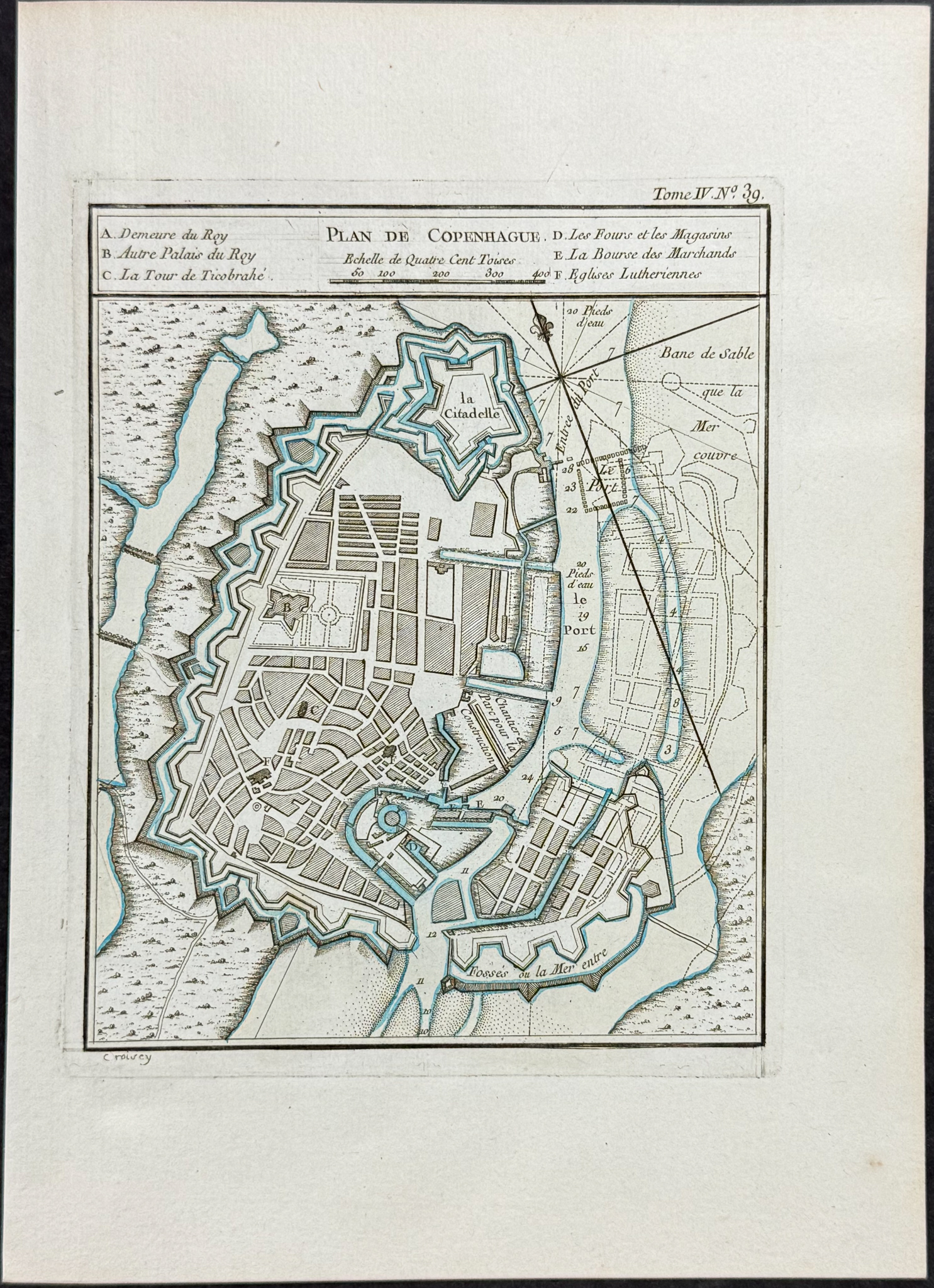
Plan de Copenhague
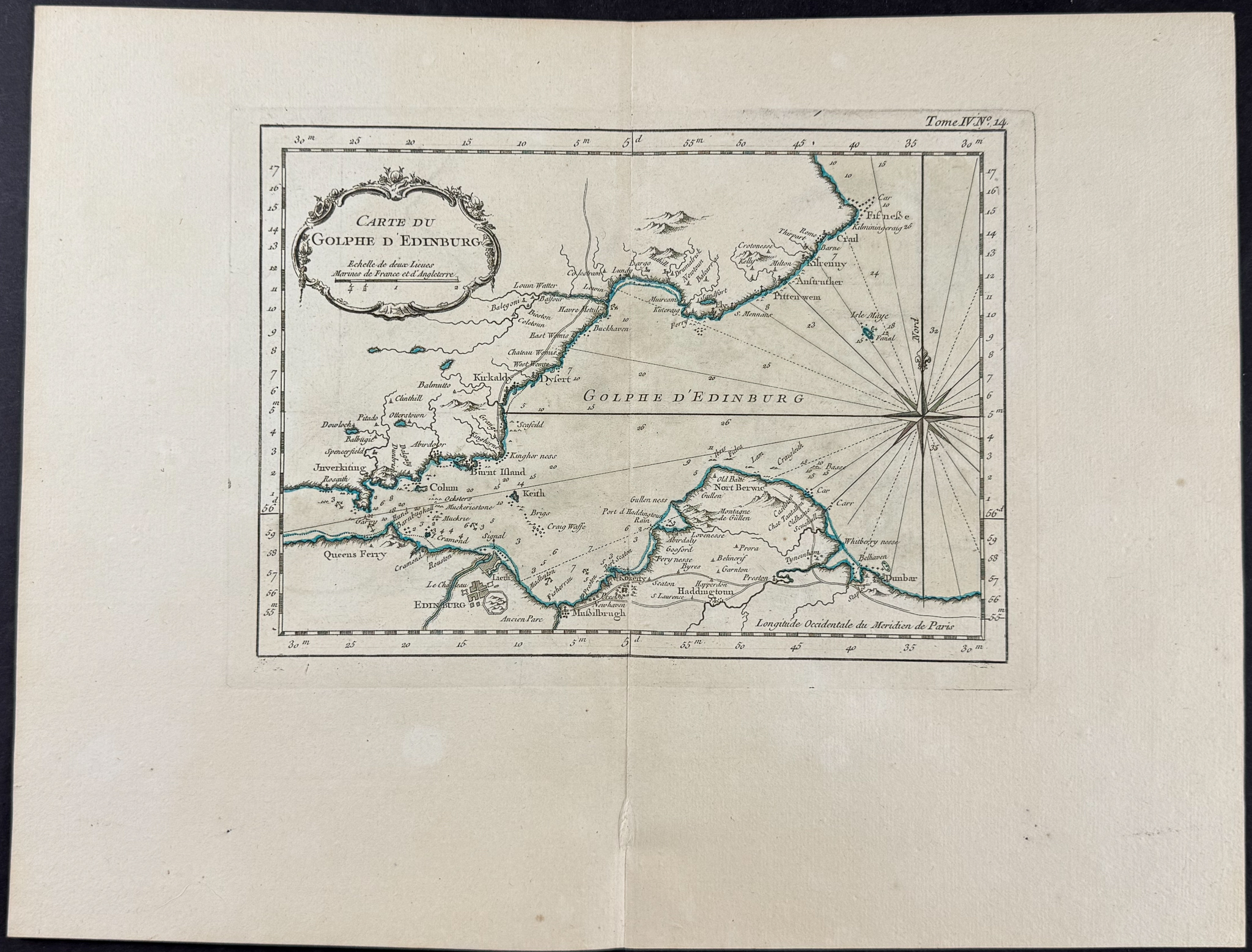
Carte du Golphe d’Edinburg
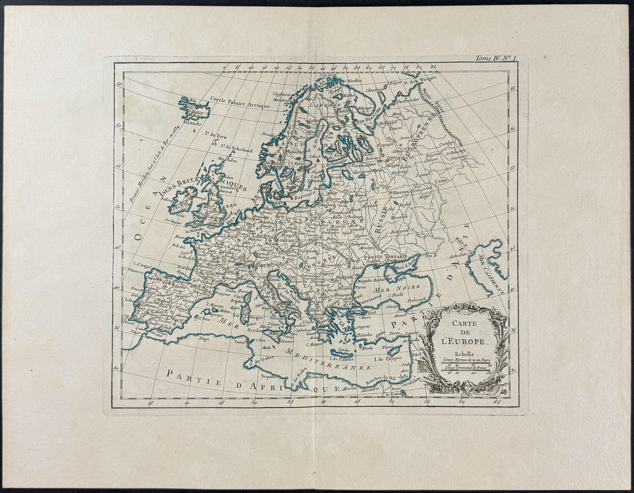
Carte de L’Europe
Description of the work:
This detailed map is from Jacques-Nicolas Bellin’s
Le Petit Atlas Maritime…. This first edition work was published in Paris by Bellin in 1764. The atlas had included plenty of new material as well as reduced engravings from his previous atlases.
Jacques-Nicolas Bellin (1703-1772) was one of the most noted mapmakers of the 1700s. He served as the hydrographer to the French Navy at the age of 18 and was eventually named the Official Hydrogapher of the French King. He produced numerous maps and atlases throughout his career, and helped establish France as a leading source of precise cartography.
Paper Size: ~ 9 1/4" by 13" & ~ 16 3/4" by 13" (Fold Out)
Paper Type or Special Features: Engraving with Original Wash Coloring
Condition report:
The work is in very good condition overall. There may be some faint offset or toning at the folds in this work; however generally very clean, presented well. There may be a few minor imperfections to be expected with age. Please review the image carefully for condition and contact us with any questions.
Share this lot: